Agriculture AI
From drone flight to field decision, in one connected workflow.
How it works
Five steps take you from a drone flight to a decision you can act on.
Capture
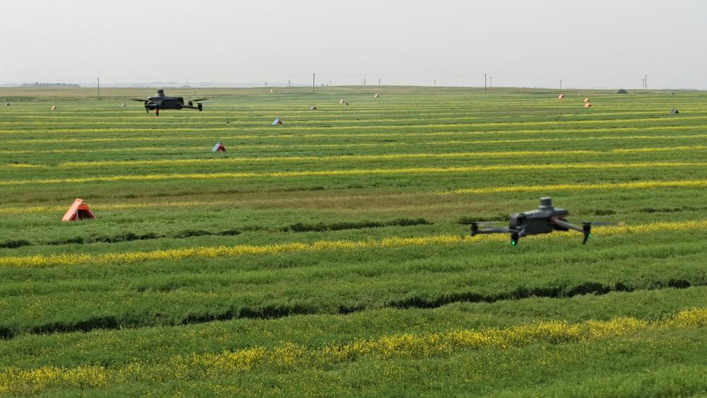
Drones fly over the field and collect high-resolution multispectral images.
Stitch
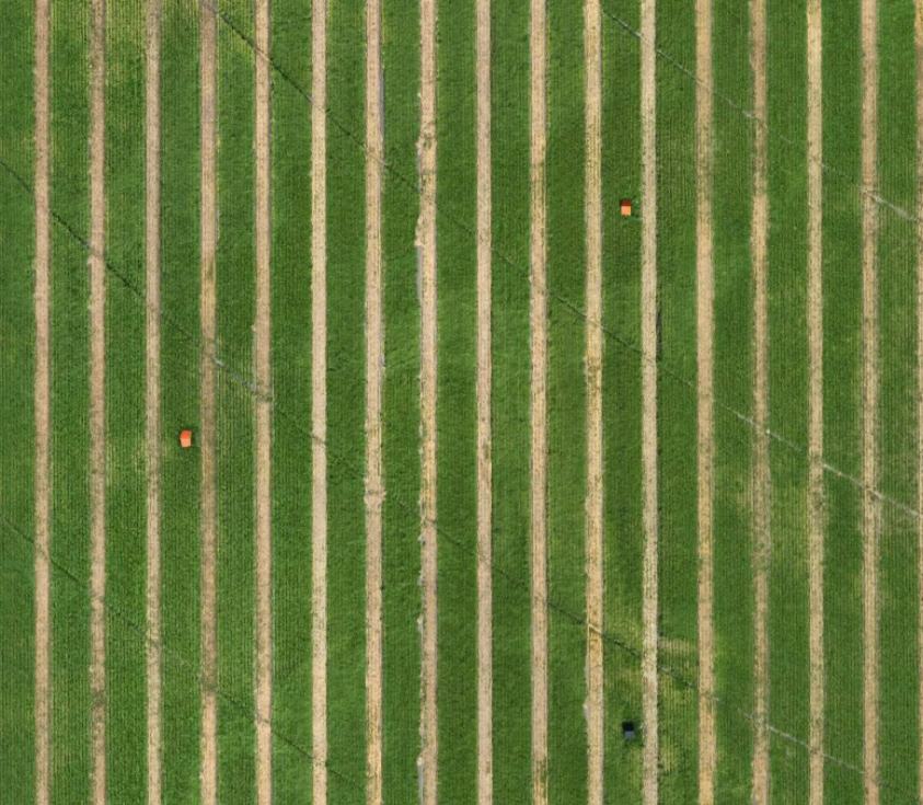
Overlapping images are stitched into one georeferenced orthomosaic of the whole field.
Analyse
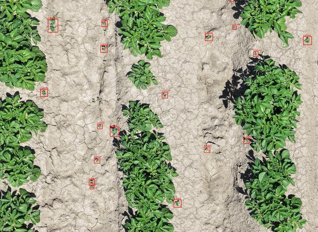
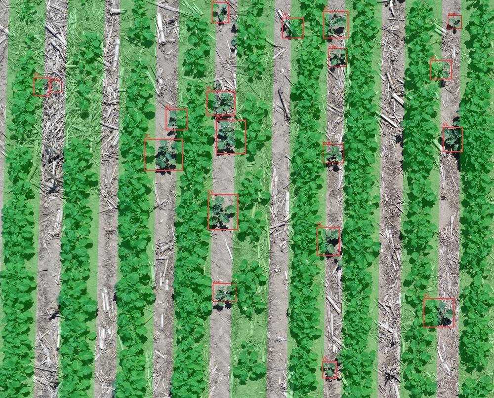
Customized AI models scan the imagery and locate every plant, weed or problem area.
Map
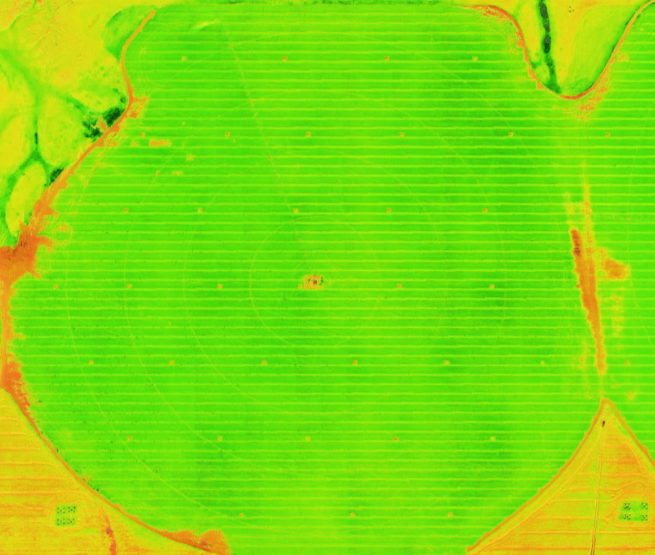
Results are turned into maps, such as NDVI, that show field health at a glance.
Act
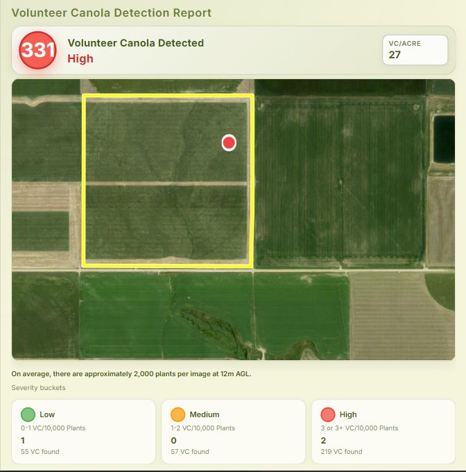
Reports summarise what was found, how severe it is and where, so teams can act on it.
What the AI finds
Built for quality assurance in oilseed and general seed production in Pakistan.
Seed production quality assurance
Detect volunteer plants and off-types that can contaminate a seed lot.
Oilseed crop monitoring
Track emergence, growth and health in oilseed crops such as canola.
Plant stand count
Count every plant to measure emergence and find gaps.
Weed detection
Find weeds and identify the species so treatment is targeted.
Net crop area
Separate non-crop land from planted area for accurate acreage.
Crop health maps
NDVI maps show vigor and stress across the whole field.
Inspection reports
Clear reports with counts, severity levels and maps for seed companies, inspectors and growers.
Custom AI models
Models trained for your crop, variety and field conditions.
See the difference
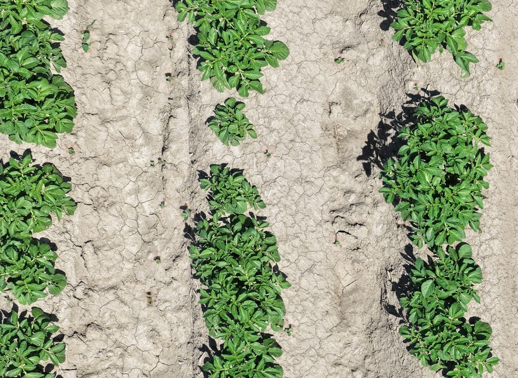
First the original drone image, then the AI scans it and marks every detection.